Manaslu is the eighth highest mountain in the world at 8,163 metres above sea level. It’s one of the great Himalayas circuits that has been discovered in recent years. Here you have the organization, logistic, costs, and highlights of this faboluous trek!
Less touristic compared to the more known Annapurna or Everest circuits, Manaslu offers greater tranquillity, and passes through authentic villages, especially in the remote regions close to the border of Tibet, such as the detour to Tsum Valley. It includes the full range of Nepali-Himalayan experiences: high passes and glaciers, deep valleys with waterfalls and canyons, high plateaus with rural Tibetan communities, lush green forests, a peak to several 8,000 m. summits, a detour to base camp, lots of donkeys, yaks . . . and the most classic: diarrhoea, which I understand comes with the package when trekking in Nepal. 🙂
GUIDE AND PERMITS
In order to trek Manaslu and Tsum Valley, there’s an obligation to be at least two people, with at least one official guide. Some agencies manage to fake the second person, but the guide is unavoidable, and for only one person it would be more expensive. There are many checkpoints; we met some people who tried to sneak in, but they were sent back, not without a good scolding. We got Nima Sherpa, a nice guide not so fluent in English, but fun to be around and attentive.
 As for the permits, four are needed: the ACAP and MCAP permits, which stand for Annapurna / Manaslu Conservation Area Projects. They cost 2000 Rupees each (about $20). The RAP is $70 for the first week, and $10/d thereafter. The Tsum Valley permit $25 for the first 8 days, which is more than enough to go and come back. No need for TIMS card for this circuit.
KEEPING THE COSTS DOWN
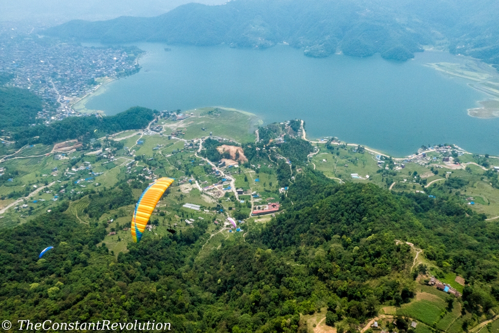
The trek can be organised either from Kathmandu or from Pokhara, where I did a great paragliding experience. The best way to keep the cost down is to fish around agencies upon arrival. It’s very hard to establish a specific cost as there are so many tour operators, and prices range from thousands of US dollars (for those who book everything from home) to a few hundred. It also depends on the level of comfort and on negotiating skills as well.
Fortunately, on my first day in Kathmandu, before I even had the opportunity to get some dust on my clothes, I found a group of three people (so, four including myself) that had already asked an agency to organise exactly what I was looking for. It turned out to be a great group, fun, easy going, keeping a good pace on the trek; good company!
 The deal with the agency was for $400 (€330) to cover the cost for transportation, guide, and all permits. Then we had to pay for our own food and accommodation on the circuit. The accommodation was always 500 Rupees (about $5) for a two beds room. The meals become more expensive the more the altitude increases. We were told to budget at least $20 per day for everything, we actually managed with less than $15. At the end, we all spent less than 25,000 rupees each ($235 – €200) for food and accommodation, including some food and snacks we brought from Kathmandu, which allowed us to have our own breakfasts and lunches at the beginning of the trail and save some money. The total cost for the Manaslu and Tsum Valley circuit came down to about $635 (€530). Add to this a tip for your guide at the end of the trek.
I believe we remained on the cheap side. It could be cheaper if, for example, you organise your permits, transportation and guide by yourself. Perhaps $100 or more cheaper, hard to calculate what the commission of the agency was and how much they actually paid the guide. However, I understood obtaining permits is kind of a complicated and lengthy process for tourists, while these agencies obtain them in one day. On the other hand, the trek can quickly become more expensive if, for example, you hire a porter, or pay for internet connection and hot water, or if you need more food and buy many snacks and drinks (beer, coke…) on the way. Then it can easily go up to $30-$40 per day, without the porter.
TIMING
 The whole trek, from and back to Kathmandu, lasted 16 days (12th to 27th April), in practice 14 days walking. However, many agencies where selling it as a 21 days trek. I guess it depends on the walking speed, fitness conditions, and whether there are problems of acclimatisation in the group. We didn’t have any, and we actually gained one day on our schedule at the beginning, which allowed us to go for a detour to base camp, definitely one of the highlights of the circuit. But I’ll indicate all the timings and differences in altitude day by day further below.
EQUIPMENT
I posted about equipment for travelling and trekking. That list turned out to be perfect, I never suffered cold, or got wet, and I had the right amount of clothing, and a pack of about 11 Kg including the drinking water. A bit heavy still. That’s because I brought my tent and inflatable mattress (2 Kg), as I was sure I could use it from time to time. I was wrong! It’s really not necessary, there are almost no campsites, not in a good position anyway, and the accommodation is very cheap. I pitched it one night though, at 4,400 metres altitude and minus 6, and with icy snowfall. A good test of fire for my new three seasons tent: passed!
FACILITIES AND HYGIENIC CONDITIONS
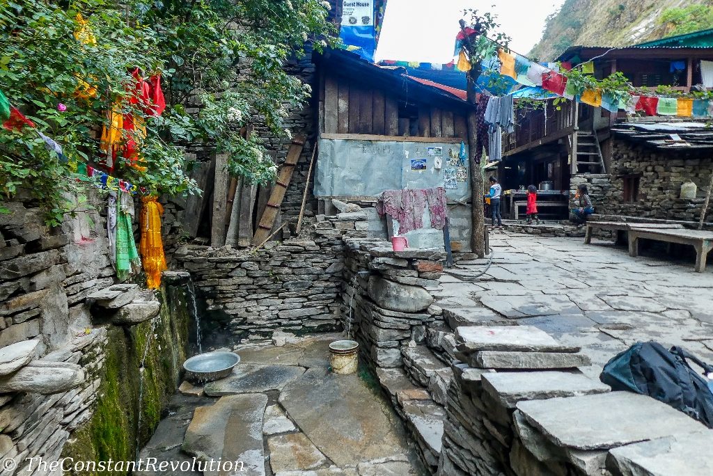
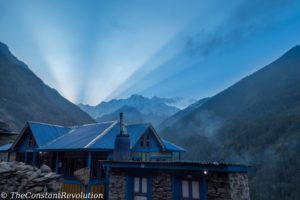
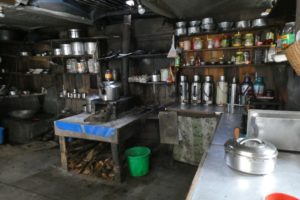 Rooms are very basic, with bunk beds, sometimes a blanket, and a pillow; space enough to put the backpack on the floor, but that’s it. One or two toilets for the whole tea house, which normally are also the showers. Forget about sitting on the throne, it’s a squatting marathon. Bring toilet paper! No heating except for the occasional fire in the dining room only at higher altitudes, and only cold water. Better have a warm sleeping bag. Sometimes very limited electricity. Internet connection was available maybe in a couple of places, by paying. Hot buckets of water could be purchased in some places (none of us did that).
Hygienic conditions are not great for western standards. It’s good to have a basic first aid kit, hand sanitizer, and antibiotics for diarrhoea. Stomach problems are almost unavoidable for westerners, basically 80% of the people we met had diarrhoea or some kind of stomachache (me included). We also met someone who got food poisoning, but this was unlucky. Water filters and UV water purifiers work to a certain extent. Tested. In order to be on the safe side with the water, which is the most important, better to always use chlorine tablets. As for the food, well you gotta eat, trust your strength and luck 🙂 Just kidding, normally it’s fine, it’s just that we are not used to it. Food is quite good everywhere, mostly vegetarian, very rarely is meat on the menu. Guides would know which are the places where food is better, as they also eat there.
POLLUTION ON MANASLU CIRCUIT
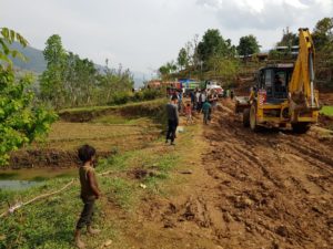
Unfortunately, the circuit is not exactly clean. Some parts are. Often though there are piles of rubbish and plastic around bridges and rivers in the proximity of villages. Plastic wraps and bottle, or cans, can be spotted on the trail here and there, pretty much everywhere. It’s a pity, but certainly no fault of the locals, who don’t know about recycling or the long terms effects of plastic, batteries, and other types of garbage on health and environment. Trade routes within Nepal or from Tibet (so, with China) are lively, and all kind of industrial food products have reached the valleys, in strong contrast with the rural, machine-free lifestyle of local populations. It’s kind of weird to see them selling these products, and ploughing their land with yaks.
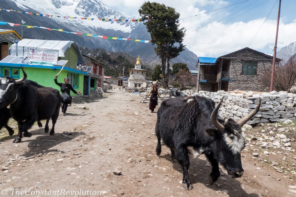 There’s no recycling or even organisation for gathering waste. Sometimes they just burn it, whatever there is in the pile, only to release toxic smoke and a horrible smell. The situation is not desperate yet, and to tell the truth the brochures handed out at the entrance of the conservation area, and the rare boards do explain good behaviour to preserve nature. But these are in English, and for tourists, and tourists and trekkers are really not the problems here. A good government program to clean the area and educate people about the environment would be necessary before it’s too late. Also for the future of tourism. I believe no one would love to go trekking in between mountains full of waste.
CULTURE
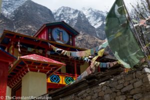
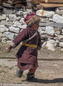 Very briefly, and I am taking from the brochure here because getting explanations in English is not easy. The whole area is situated in the northern part of Gorkha district, which borders with the Tibetan plateau in the north. The region is culturally divided in three valleys, Nubri, Kutang, and Tsum. In these valleys live various ethnicities, speaking several dialects. About 9,000 inhabitants reside in 56 villages in the area, with the major ethnic group being Bhotia, also known as Lama. The majority of people are Buddhist, and very peaceful. Tsum Valley in particular is an area of non-violence, where killing animals is strictly prohibited.
FLORA AND FAUNA
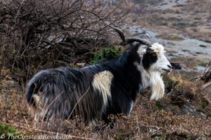 Well, it’s a Himalayan conservation area, so there’s plenty of wildlife, birds, plants, flowers etc… It isn’t easy at all to spot any of the 39 species of mammals though, especially the much sought after snow leopard. Better keep expectations realistic, and enjoy the surrounding sound of nature. Alright, time to talk about the circuit!
DAY 1 – KATHMANDU TO SOTI KHOLA (700 M.)
Prepare for a very, very long ride on a very, very cramped local bus. We left at 7 AM and got to the town before Soti Khola at about 5 PM, then we were really glad to go for the one hour walk needed to reach the first tea house. Local buses really put patience to a test: they stop every time someone gives them a wave; they never say no to anybody, some people were just hanging on the side of the bus, or sitting at its top, because there was no more space inside either sitting or standing; they are extremely warm, and small and uncomfortable if you are more than 1,80 cm tall. But well, it’s all part of the experience! 🙂 From now on waking up time would be between 5:30 AM and 6:30 AM.
DAY 2 – SOTI KHOLA (700 M.) TO KORLABESHI (900 M.) – 8 HOURS
 We finally start the trek as we enter the Lower Manaslu. The first part of the day is kind of low, following the river Budhi Gandaki, lots of stones and still cranes and trucks around, building roads for the army. We go through a couple of river crossings. Endless procession of donkeys, clearly the main means of transportation here. The second part of the day is basically a series of ups and downs, with an infinite number of quite tiring stairs. The trail is narrower now, deep on the left side of Gorkha Valley, which we will follow, gaining altitude day after day, until the pass. We pass through several villages, smiling people, kids shouting a Namaste from the distance. A good first day for the legs.
DAY 3 – KORLABESHI (900 M.) TO JADAT (1400 M.) – 6 ½ HOURS
We walk with a lot of ups and downs deep in the valley, which becomes more and more green. From time to time there’s a bridge crossing and we change to the other side of the mountain. Right at the beginning, after the first bridge, we get to TATOPANI, which literally means HOT WATER, as here there are some hot springs. At one point, the valley opens up a little, but we mostly walk in the shade on a rocky path, and encountering many donkeys. We come across an expedition of four Swiss people for the Manaslu summit. We will see them again at base camp.
DAY 4 – JAGAT (1400 M.) TO LOKPA (1800 M.) – 6 HOURS
The walk continues along the river, with many ups and downs and changing sides of the mountains from time to time through long bridges. The valley is incredibly deep, we can see it now from a higher place, lots of waterfalls and canyons coming down from both sides. The first sign of snow-capped peaks far in the distance. I am impressed by the magnitude of these mountains, experienced as I am to trekking on smaller chains, like the Alps. Very different style there, where you go up and down the valleys and passes, basically crossing them every day, rather than following a huge valley along its line until the pass.
Today we are entering the Tsum Valley. Around GAMPUL we take a turn on the right (signalled by a panel) and we leave the Manaslu circuit for a few days. Although people still welcome with a NAMASTE, we are told the right greeting in this area inhabited by Buddhists is TASHI DELEK. As soon as we turn right the view changes and we find ourselves gaining altitude in a lush green bush and pine forest with many red flowers. LOKPA is one of the first villages in the valley, very small, just a few houses, and a campsite. Nice tea house though, the one and only in the whole circuit with free hot water showers.
DAY 5 – LOKPA (1800 M.) TO CHHEKAMPAR (3000 M.) – 8 HOURS
We wake up with the sun shining and the sky clear from clouds, although by now we know it won’t last for long as basically every late morning clouds start piling up around the summits, slowly becoming thicker and lower, and sometimes releasing a bit of rain in the late afternoons. Yet, we can now see that LOKPA is actually still quite deep in the valley and surrounded by many pointy peaks, with a bit of snow resting on them. A nice view. The trail now starts ascending more seriously, and even though there’s still a lot of ups and downs, we gain altitude quickly. On our way, we get the first, long-awaited peek at higher snow-capped mountains. A high bridge just before CHUMLING might give some vertigo.
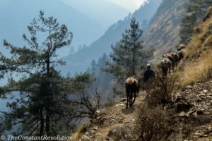
During the cloudy afternoon we go through the hardest part of the day’s trail. Some narrow cliff-side paths, but still big enough to allow donkeys to pass by. Observing how these animals carefully put their feet down on such rocky and steep paths is impressive. One could just follow in their footsteps and it would be the best possible spots to land. Finally, a long and tough zigzag on a rubble slope to reach our destination. Long day, it feels good to have a rest.
DAY 6 – CHHEKAMPAR (3000 M.) TO MU GUMBA (3700 M.) TO NILE (3500 M.) – 7 HOURS
As we are tackling the Tsum Valley on a somehow tight schedule, NILE is the farthest place where we sleep. We will leave our backpacks there for an afternoon walk up to MU GUMBA, a small village high in the mountains, with a small, very old GOMPA, a Buddhist monastery. This is as far as we will go, only one day walk from Tibet, which is reachable through three different passes. Most of the commercial products for tourists, like cans, drinks, and snacks are made in China. As I pointed out above, the contrast between a very rural lifestyle and the presence of such products in this remote area is remarkable.
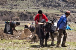
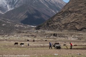
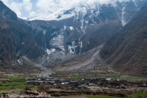 We are not so lucky with the weather though, the day is kind of cloudy from the start, and we will not get to see this incredible land with the snowy mountains in the background. Indeed, Tsum Valley at one point opens up into a wide plateau, very green in this season as it is mostly cultivated with local wheat by the villagers. The rocky walls on the sides of this plateau sometimes host a monastery, they are very high, with the clouds they look kind of gloomy too. Lots of yaks around, which are used to pull the plough (killing animals is forbidden in Tsum Valley), and wild horses (or ponies depending on the point of view). All the villagers, men and women are at work in the fields.
In the afternoon, the path to Mu Gumba goes up on a steep zigzag, while around the mountains become more and more barren, brown and yellow colours are predominant now. We stay just an hour, it’s very cold, only two tourists are going to sleep here. Then we head back to Nile following the same path. All in all, a very nice day, despite the clouds, walking without weight here really helped to acclimatize.
DAY 7 – NILE (3500 M.) TO CHUMLING (2300 M.) – 6 HOURS
 Tough night for me, fever and stomachache, I definitely caught something. But I feel strong enough in the morning, and I took immediately the antibiotics against diarrhoea just to avoid dragging the problem on for too long. The day is cloudy again, but there’s more sunshine piercing through in the middle of the plateau, and we travel in the same direction from which we came. This allows taking a couple of better photos. Snow-capped mountains still hidden though, too bad, but nothing we can do about this. The walk going down is easy, just a half an hour to go back up to Chumlin, which rests on a little hill. Nice tea house here.
DAY 8 – CHUMLING (2300 M.) TO PEWA (1600 M.) – 6 HOURS
It’s a beautiful and clear day as we walk down along Tsum Valley. Now we can clearly see the SIRINGHI RANGE (7100 M.) on our right side, through the lush green forest, lots of birds chirping and colourful butterflies. It’s a nice and relaxing walk down and back to the Manaslu circuit. Tsum Valley has been interesting, despite the clouds. Very few tourists and authentic local lifestyle, the only signs of modernisation being snacks and similar commercial products. The most authentic Tibetan food we could try is perhaps TSUMPA, a kind of thick, brown mash made with wheat and buckwheat. Time seems to stand still here, people build houses and work on the fields without any mechanisation, they provide for their sustenance independently, and connect with other regions only by foot and with donkeys.
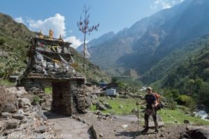
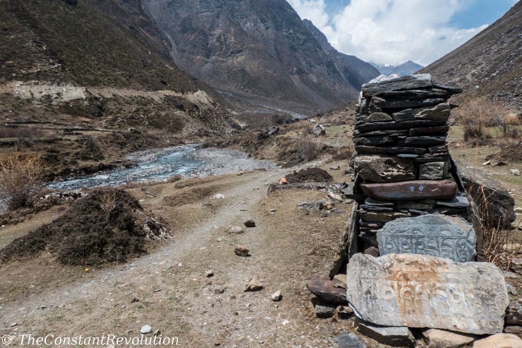
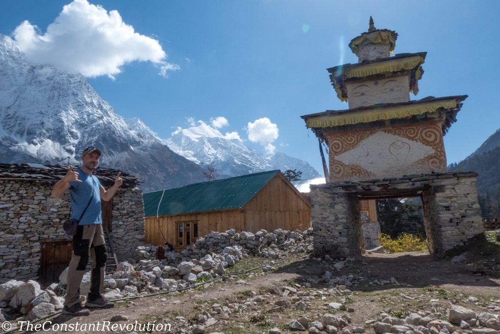
All along the way in Tsum Valley, and to a lesser extent also high up in the Manaslu Circuit, there are many stones constructions, displaying hand carved mantras and Tibetan Monks prayers.
We were told Buddhist always have to pass on the left side of this constructions (clockwise), although we could not get more information about it. Yet, they are quite beautiful to watch, they are like part of the landscape, and they definitely made me think of how long these routes must have been traveled by monks, and the time it took to prepare all those hand carved stones.
DAY 9 – PEWA (1600 M.) TO JUNGLE LODGE (2100 M.) – 5 HOURS
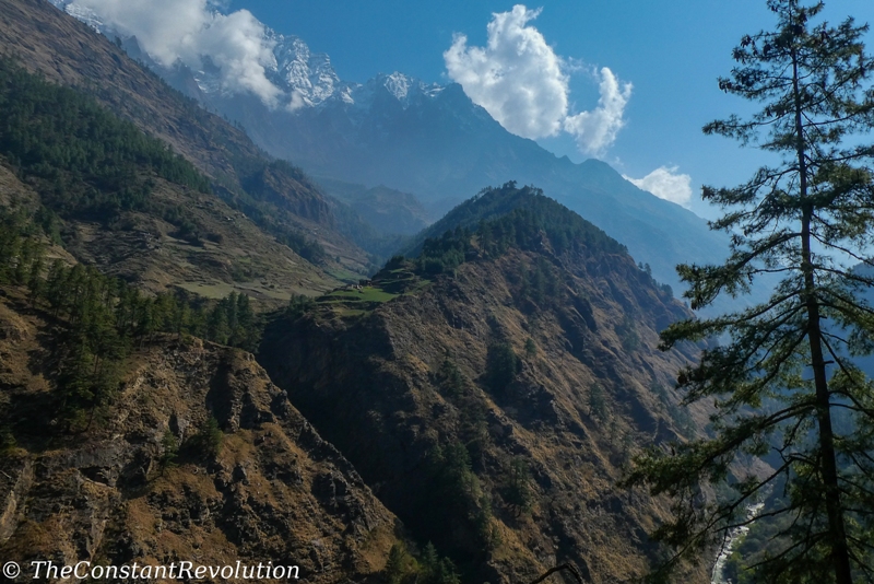
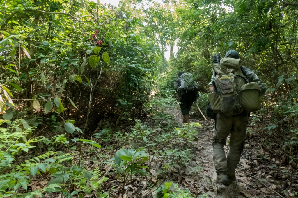
We are back in the deep Gorkha Valley, with its majestic mountains, going deeper into the Manaslu circuit and towards the LARKE pass. There’s terraces with farmers here and there, again many canyons and waterfalls on both sides, as we follow the river. Lots of ups and downs, we do not gain much altitude, but we definitely walk a difference in level of more than 1000 M. We stop for lunch in GAP, a place to avoid, the restaurant there is the dirtiest we came across, against the advice of our guide. From now on we would listen to our Nima Sherpa. Otherwise a short day, luckily enough as just minutes after our arrival at Jungle Lodge, a single lodge close to the river in the forest, a big storm came around. But we were dry and warm thanks to the wooden stove at the lodge. A very nice tea house.
DAY 10 – JUNGLE LODGE (2100 M.) TO LHO (3000 M.) – 6 HOURS
Finally, we wake up with a perfectly sunny day, mountains all around us and visible almost all the time. The trail goes mostly uphill, and the view opens up accordingly. Still some passages in the lush green, and many monasteries around. At the end of the trail, LHO in sight, I can see the long tongue of a glacier in the background. That should be the glacier of Manaslu, finally, but it’s afternoon, and the summit and most of the body of the 8th highest mountain in the world is tightly wrapped up in clouds. Fingers crossed for a sunny morning tomorrow!
DAY 11 – LHO (3000 M.) TO SAMAGAUN (3500 M.) – 4 HOURS
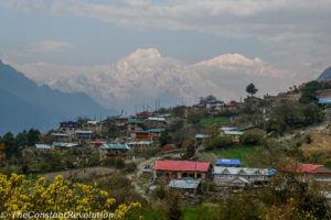
It’s a splendid day, from the terrace of our tea house we finally get the first peek at Manaslu, still far in the distance, behind a monastery.
I am excited, after all this is what I came to see, and do. It’s an easy and short day, good for acclimatization. At one point we pass by SHYGALLA (3300 M.), a very nice village resting on a small plateau, and completely surrounded by snowy peaks. It’s a spectacular, 360 degrees view, so good in fact that we feel compelled to stop by a quiet Tibetan family for hot drinks and to enjoy the moment. As we continue on the plateau we see a lot of locals working their land, just like in Tsum Valley. We get to LHO pretty quickly and have a nice rest.
DAY 12 – SAMAGAUN (3500M.) TO MANASLU BASE CAMP (4800 M.) AND BACK – 9 HOURS
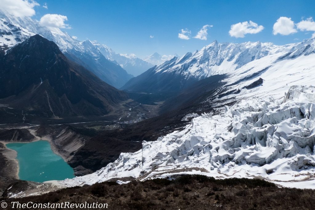
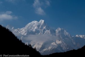
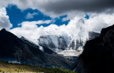
This was definitely the highlight of the whole trek! A long day, a tough day, but also a memorable one. The sun is high and shining, not the hint of a cloud in the morning, Manaslu is right in front of our eyes as we ascend the 1300 M. to base camp. This is what I have imagined before coming to Nepal: to see the summit and its wonderfully shaped glacier, the valley and the village down in the distance, the beautiful teal coloured lake, the snow we walked on for quite some time before reaching our destination, and of course all the other peaks around surrounding the valley. There’s everything, and it’s all majestic! We progress fast, without weight on our shoulders as we will return to Samagaun to sleep, and we take all the necessary time to enjoy the view, and snap some photos.
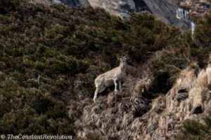
From time to time, the sound of an avalanche on the glacier breaks the silence, and I can’t help but thinking of how small we are, how powerful the nature compared to our fragile bodies, and the respect we owe to these mountains that offer their beauty to the world. At the same time, the summit is there, in front of me, calling. I feel like I could grasp it with my hand, it’s hard to believe between me and that beautiful pointy peak there’s more than 3000 M. in altitude to go. When we reach base camp we cannot help but be happy. There’s only a few tents, two expeditions and eight people in total trying to reach the summit, very different from other base camps that I am told can be really busy. No one is there though, they are acclimatizing with a daily ascent to camp one. So we chat around with the cook, who kindly offers us a most welcomed hot coffee. Then we descend, spotting some blue sheep in the process, our hearts filled with marvel, what can I say: a perfect day!
DAY 13 – SAMAGAUN (3500M.) TO DHARMASALA (4400M.) – 5 HOURS
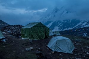
Again a sunny day, I start to think we are a lucky bunch! The walk goes through a splendid valley, barren now, not much vegetation. Still we stop for lunch at a nice, isolated tea house with lots of wild horses grazing. Some marmots playing around too, and we spot some blue sheep. It’s all very relaxing. In the afternoon it get a little tougher. There’s more people on the trail today, all going to the same place. Dharmasala is not a village, just a high altitude tea house, obligatory stop before the LARKE pass. It’s quite a dirty place, and cold. Some people sleep in the dorms, some others in tents, some in the dining room as there’s no more space. I have my tent with me, so I finally have the occasion to set it up. It resisted -6 degree weather and icy snow over night, quite proud of it. In the evening we are literally in the cloud, which provides a kind of mystic atmosphere. Off to bed early though, the leaving time to the pass is 4 AM.
DAY 14 – DHARMASALA (4400 M.) TO LARKE PASS (5106 M) TO BHIMTANG (3700 M.) – 9 HOURS
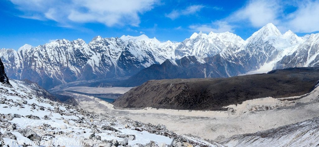
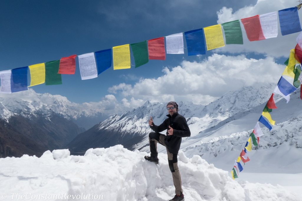
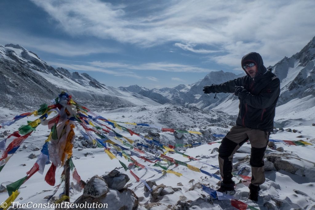
As I said, lucky! Sunny day again, and the second highlight of the whole circuit! Early breakfast, and at 4 AM off we go, head lamps on in the night, towards the Larke pass, the highest point of the circuit. I feel very well acclimatized, and at this point my legs do not feel the weight of the backpack any more, I got used to it. So I just set off with a speedy pace, while other trekkers have more trouble breathing. The walk, altitude aside, is relatively easy, with mild ups and downs on snowy hills, but long. It’s beautiful, literally a sea of ice is all around me as I walk alone toward the pass. I try to check for wildlife, all I can see is Tibetan snowcock birds resting on some high rocks. After a few hours I reach the pass, where I take some photos and wait for my companions, not far behind actually. Fast group!
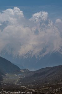
As we descend on the other side of the pass on a quite slippery snowy slope, the surprise: the Annapurna range appears right in front of our eyes, with the summit of Annapurna one (8091 M.) emerging on the right side of the range. So, double happiness, we get to see a second 8000 M. mountain. The range gives a more compact, massive impression, compared to Manaslu, which is more of an isolated, elegant peak, with its reversed half mooned shape and the two pointy peaks looking at the sky. We continue descending, after almost 8 hours we get out of the snow zone, and walk towards Bhimtang. We are in the Manang area now, the last gift of the day, the view of Bhimtang with a majestic mountain in the background. Impressive!
DAY 15 – BHIMTANG (3700 M.) TO DHARAPANI (2000 M.) – 8 HOURS
Last day of the trek, and the third highlight of the whole circuit. We descend for ten minutes and right away we see Manaslu from the opposite side. If that’s not enough, we can see at the same time the Annapurna range on our right side. What more could we ask for?
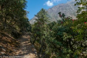
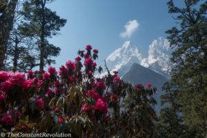
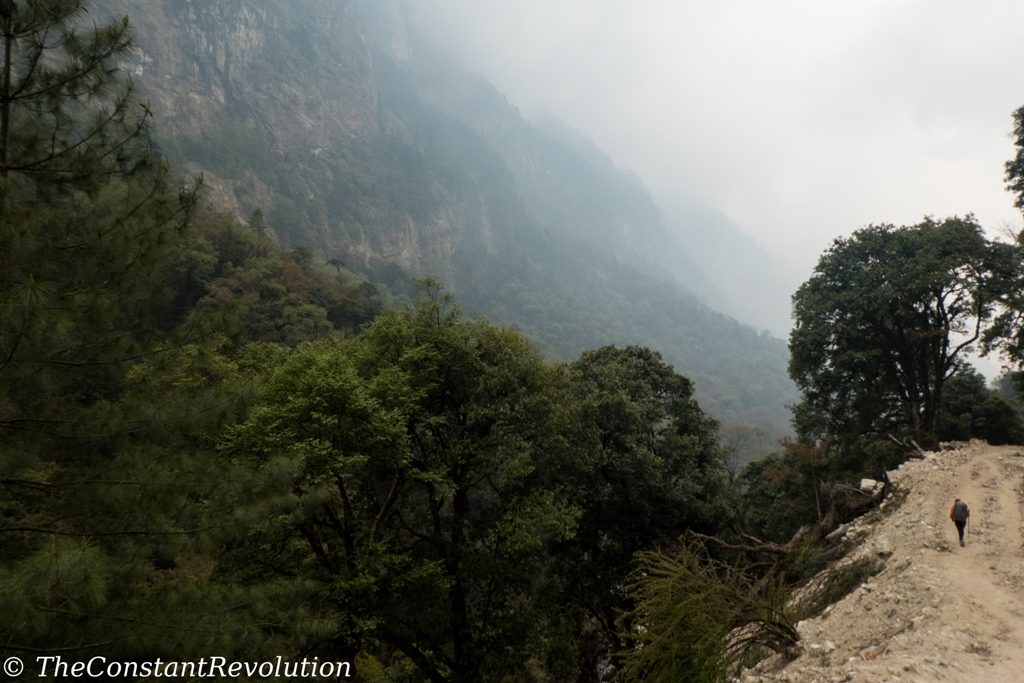
Here’s what: we enter in the lush green part of Annapurna Conservation Area, and we walk for few hours in this pine and colourful rhododendron forest, really a beauty! It’s kind of relaxing to walk again in warmer temperature too. From time to time, a snowy peak is visible through the trees, which makes it a really perfect frame. Only towards the end of the daily trail, the road becomes bigger, and clouds start piling up heavily. Our luck is running out, but that’s not an issue at this stage. Final group photo in a very nice tea house, the trek is over. It was truly an amazing experience.
DAY 16 – DHARAPANI TO KATHMANDU – ALL DAY
Prepare for a lot of patience after a lot of beauty. Four hours of extremely bumpy off road on a four wheeler vehicle to go from Dharapani to BESISAHAR. Lunch there, and then the bus, touristic this time, not local like on our way in, towards Kathmandu. The road is slightly better from here, but still a lot of traffic, and a long way. Especially entering Kathmandu from this side takes two or three hours of very, extremely slow movement. We get there around 8 PM, tired, happy, nostalgic, hungry… a Himalayan trek definitely stirs up a lot of emotions.

Viva the transparency! There are affiliate links in this article. This means if you click on a link and end up buying (or booking) through those websites, I’ll get a small commission, at no extra cost to you. This helps me maintain the blog, and continue to provide (hopefully) useful travel information. I advertise only products I have tested and sites I use myself!









I really enjoyed reading this post! Well done on continuing the trek in spite of all challenges!
Thanks! I’ll keep reporting. Hope everything is fine over there 🙂
Hi,
all what you posted can be confirmed, we did nearly the same route in 2014, except that we took a heli from Kathmandu to Jagat, to avoid the long approach, as we didn’t have enough days for the whole trek.
Great fun to read !
Good luck whereve you go.
Hello,
Would you recall how busy was the trail in the terms of other trekkers?
Did you have any problems to get a room in the teahouses?
Thank you.
Hi Helena, on the trails and tea houses we met just a few people. Especially on the Tsum Valley section. But in general the trail did not feel busy at all.
Only exception for the “tea house” before the pass, at 4,400 m. As there is only one place for accomodation and food that felt more packed. We ended up sleeping in tents which was probably better.
In any case is not like you can book it, you can only go and see and your guide would know and take care of all this 🙂
Enjoy your trails!
Paolo