Hiking at Lenin Peak could mean, for many itineraries, the last steps on Kyrgyzstan territory, and what a wonderful way to end a trip to this fantastic, jaw-dropping mountainous country.
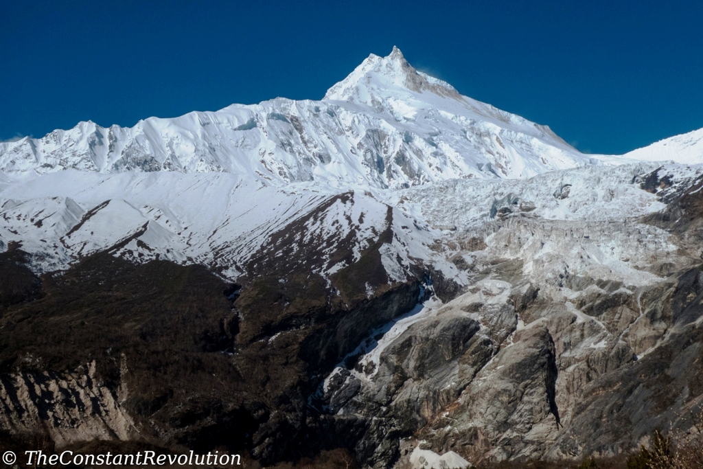
It’s called the easiest 7,000 m. summit in the world, right at the border between Kyrgyzstan and Tajikistan, in the last section of the Pamir mountain range. Lenin peak is a massive, solid-looking mountain which attracts many trekkers from around the world.

However, most of the people don’t go for the over 2,000 m. of ice to climb in order to reach the summit. They rather, and happily, settle for day hikes, normally starting from one of the many yurt camps that can be reached directly from Osh (by taxi or Marshrutka to Sary Mogul), or from Sary Mogul (only by taxi), depending on how much time you have at your disposal and your level of acclimatization at this point of your travel in Kyrgyzstan.

A night in Sary Mogul is advisable to acclimatize, and also because the town is located on a beautiful 3,500 m. high plateau which separates the Pamir with the Alay mountain range. The latter belongs to Kyrgyzstan alone.
From Sary Mogul, an hour drive is needed to reach the first Yurt camps of Lenin Peak, at about 3,800 m. of altitude.

Most of the day hikes from here aim at Travellers Pass (About 4,100 m. – 7 Km distance), a beautiful walk through green meadows with a final short but steep ascent to the pass. From here, it takes two to three more hours to reach Camp 1 at the feet of Lenin’s Peak immense glacier.
It isn’t absolutely necessary to go there if you are not going for the summit, but I would recommend continuing at least for another hour after the pass as the valley on the other side shows a completely different (featured image), spectacularly dry and colourful landscape. In my opinion the highlight of the whole hike.

And that’s it really. Nothing complicated about hiking at Lenin’s Peak. There’s no need for guides or maps, all the spots are indicated on Maps.me, for example, and you can just use your phone, and there’s quite a lot of people around in summer season. You can easily find food at yurt camps and water. For those who feel like camping in altitude, that’s always possible. Bring all gear and food.

This could also be the last passage in Kyrgyzstan before moving into Tajikistan as the border crossing towards the famous Pamir Highway (the second highest road in the world) half an hour by car from Sary Mogul.
Unless, before leaving this amazing country full of incredible mountains landscapes, you’d want to go and have a peek at the Alay mountain range, visible from the meadows of Lenin’s peak but on the opposite side of the plateau that separates it from Pamir.
There’s a number of possibilities to trek the Alay. I didn’t go for lack of time, but I have heard wonderful things 😉
And that’s 500 words, let’s go!


